
About
The LULC Classification
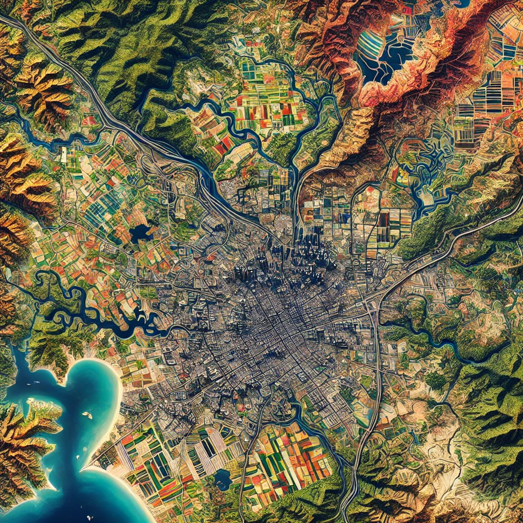
The LULC Classification Web Portal is designed to facilitate the classification and analysis of Land Use/Land Cover (LULC) data. It allows users to access, visualize, and interpret satellite imagery and geospatial data to determine land use and cover patterns. The portal supports various classification methods, including supervised and unsupervised classification, to categorize land into different classes such as forests, urban areas, agriculture, water bodies, and more. It provides tools for users to conduct spatial analysis, generate LULC maps, and track land use changes over time. The portal is an essential tool for environmental monitoring, urban planning, and sustainable land management, enabling researchers, policymakers, and decision-makers to make informed decisions based on up-to-date land cover data.